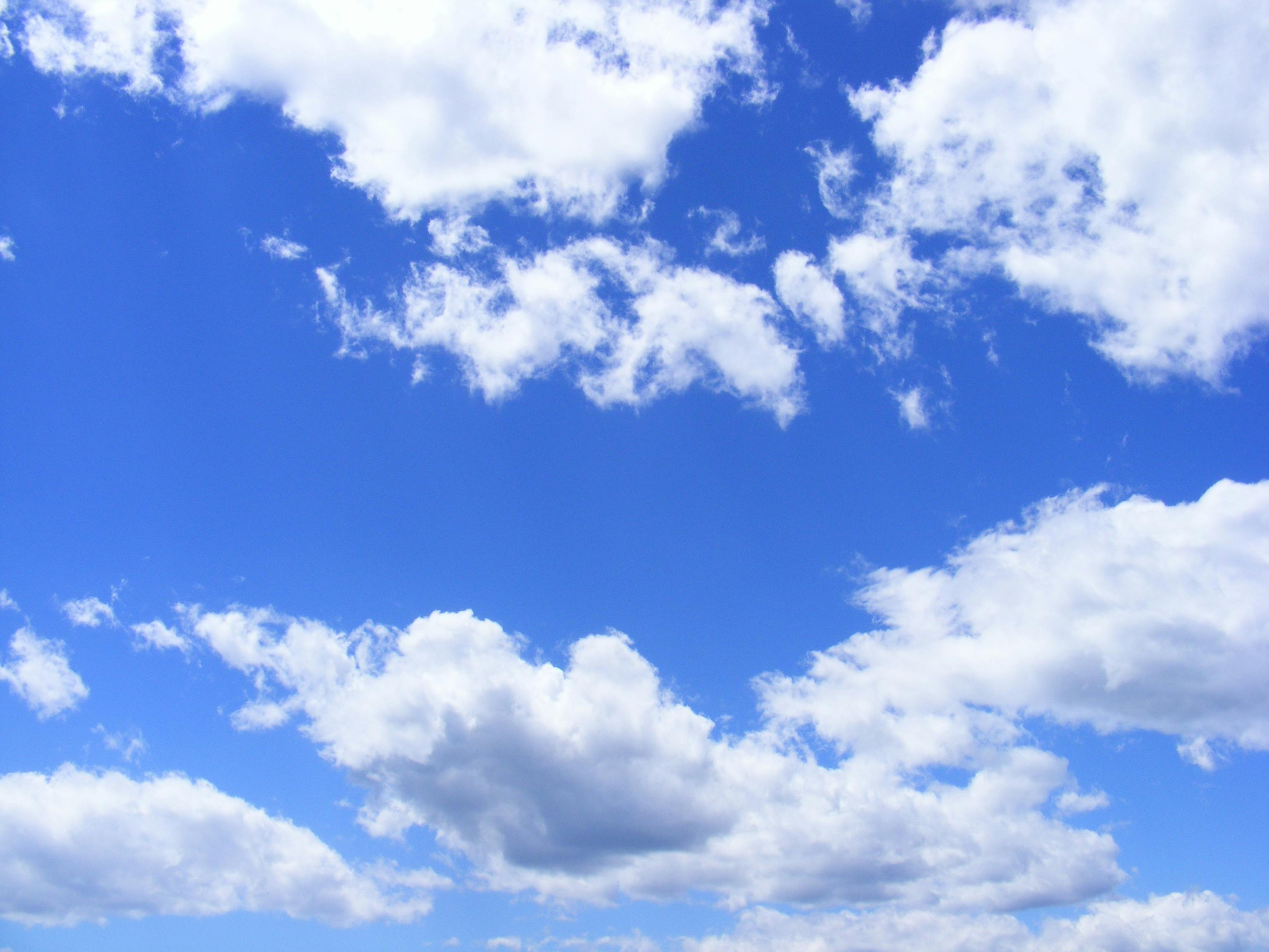
Look up at the sky and you'll see nature's most amazing shapeshifters! Clouds are floating collections of billions of tiny water droplets or ice crystals that create ever-changing sculptures in the sky. Understanding clouds helps us predict weather and appreciate one of the most beautiful parts of our atmosphere.
How Clouds Form
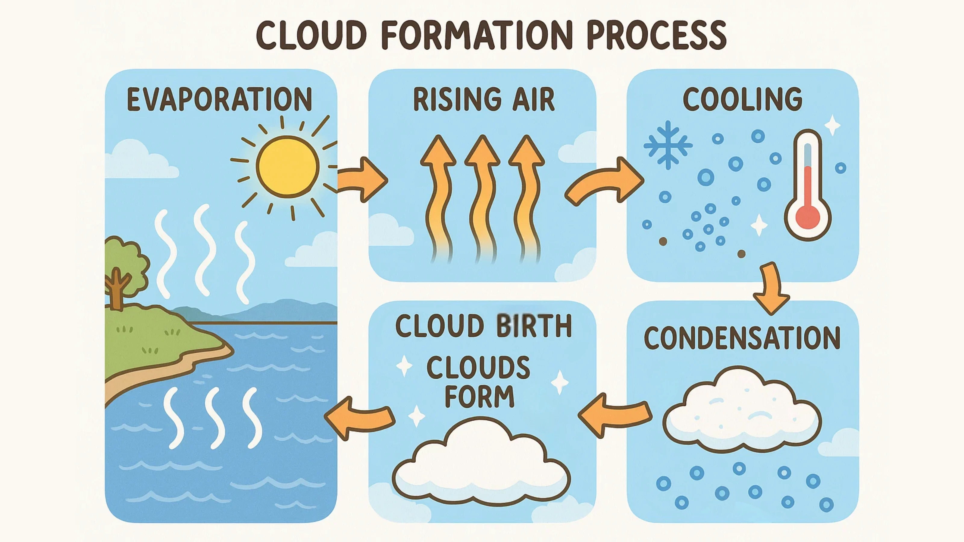
Clouds form when water vapor in the air cools down and condenses (turns back into tiny liquid droplets). This happens when warm, moist air rises into the cooler upper atmosphere. The water vapor needs something to condense onto, like microscopic dust particles or pollen grains called condensation nuclei.
EVAPORATION: Water from oceans, lakes, and rivers becomes water vapor
RISING AIR: Warm air containing water vapor rises into the atmosphere
COOLING: As air rises higher, it cools down (temperature drops with altitude)
CONDENSATION: Water vapor condenses onto tiny particles to form droplets
CLOUD BIRTH: Billions of water droplets cluster together to form visible clouds
The Three Main Cloud Families
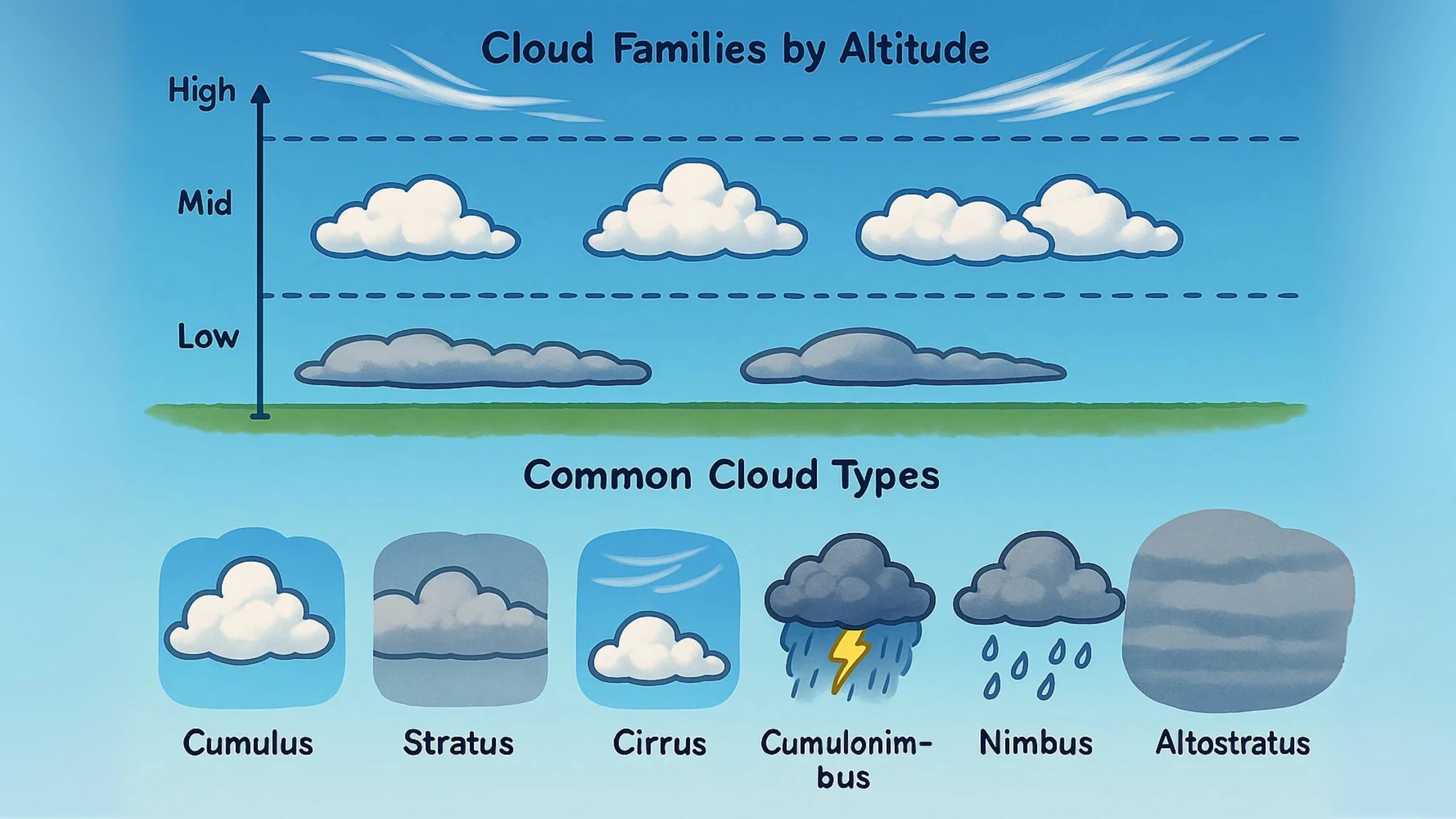
Clouds are classified into three main families based on their altitude and appearance: Cirrus clouds are high, wispy, and made of ice crystals. Cumulus clouds are puffy, cotton-like clouds that form at medium altitudes. Stratus clouds are low, flat, layered clouds that often cover the entire sky.
CIRRUS:
High, thin, wispy clouds made of ice crystals (usually fair weather)
CUMULUS:
Puffy, cotton-ball clouds (usually fair weather, but can grow into storms)
STRATUS:
Low, gray, layered clouds that cover the sky (often light rain or drizzle)
CUMULONIMBUS:
Towering storm clouds that produce thunderstorms
NIMBUS:
Any cloud that produces precipitation (rain, snow, hail)
ALTOSTRATUS:
Middle-level gray or blue-gray sheets of clouds
Cloud Altitude Levels
Clouds form at different levels in the atmosphere: High clouds (20,000-40,000 feet) include cirrus types and are usually made of ice crystals. Middle clouds (6,500-20,000 feet) include altocumulus and altostratus. Low clouds (surface-6,500 feet) include stratus and nimbostratus clouds.
Clouds and Weather Prediction
Different clouds tell us about upcoming weather! Cirrus clouds often appear 24-48 hours before a storm. Cumulus clouds usually mean fair weather, but if they grow tall, they can become thunderstorms. Stratus clouds often bring steady, light precipitation.
Keep a cloud journal and sketch different cloud types you see
Use cloud identification charts to learn cloud names
Predict weather based on cloud types you observe
Watch how clouds change shape and move throughout the day
A typical cumulus cloud weighs about 1.1 million pounds!
Clouds appear white because they reflect all colors of sunlight
The highest clouds can reach 60,000 feet above Earth
Some clouds can produce lightning, thunder, hail, and tornadoes
Fog is actually a cloud that forms at ground level
MAMMATUS: Rare clouds that hang down like pouches
LENTICULAR: Smooth, lens-shaped clouds that form over mountains
SHELF CLOUDS: Long, low clouds that appear before thunderstorms
WALL CLOUDS: Rotating clouds that can produce tornadoes
NOCTILUCENT: Rare, glowing clouds visible at night
CONTRAILS: Man-made clouds formed by aircraft exhaust
PRECIPITATION: Clouds produce rain, snow, sleet, and hail
WATER TRANSPORT: Clouds carry water from oceans to land
CLIMATE REGULATION: Clouds reflect sunlight and trap heat
GLOBAL CIRCULATION: Cloud patterns show air movement around Earth
WEATHER SYSTEMS: Clouds are key indicators of atmospheric conditions
THUNDERSTORM CLOUDS: Tall, dark cumulonimbus clouds can be dangerous
LIGHTNING SAFETY: Seek shelter when you see towering storm clouds
FLASH FLOOD WARNINGS: Heavy rain clouds can cause sudden flooding
TORNADO SIGNS: Wall clouds and rotating clouds need immediate attention
WEATHER ALERTS: Learn to recognize dangerous cloud formations
Clouds are nature's weather reporters, constantly telling us stories about the atmosphere and helping us understand the amazing processes happening high above our heads!